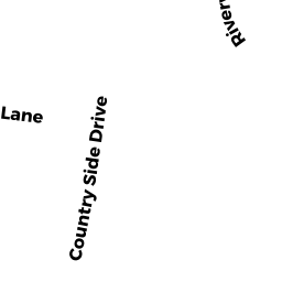
15 COUNTRY SIDE DR
Owner Information
FRIEDMAN EMILY K
15 COUNTRY SIDE DR
CHATHAM, MA 02633


Property Details
15 COUNTRY SIDE DR is classified as a Single Family Residential (Cape).
The primary structure on this property was built in 1973. There are 2,160ft2 of built area within this property. There is 2,160ft2 of residential/living space within this property.
15 COUNTRY SIDE DR is valued at $456,500. The land is valued at $168,400 and the structures are valued at $288,100.
This property is in Zone R60. Confirm with local Zoning Board authorities to ensure there are no overlays or other easements on this property.
The most recent deed for 15 COUNTRY SIDE DR is recorded at the local registrar in Book 29668, Page 109. 15 COUNTRY SIDE DR was last sold on Friday, May 20, 2016 for $375,000.
Assessment data from fiscal year 2018.
Flood Data
This property is partially within the AE Zone (within floodplain). Approximately 0.32 acres (47.02%) of the property is within this zone.
The base flood elevation for this flood zone is 11 feet.
This information is sourced from the FEMA National Flood Hazard Layer. See our full disclamer.
Broadband Internet Providers
| Provider | Type | Bandwidth (mbps) | |
|---|---|---|---|
| Viasat Inc | Satellite | 35 | 3 |
| Comcast | Cable | 1000 | 35 |
| VSAT Systems, LLC. | Satellite | 2 | 1 |
| HughesNet | Satellite | 25 | 3 |
| T-Mobile | Fixed Wireless | 25 | 3 |
| GCI Communication Corp. | Satellite | 0 | 0 |
Broadband service provider data from December 2020.